
Drone mapping and survey
Orthophotos, elevation models and 3D models, at a resolution of 1 to 5 cm per pixel.
What you get
- Orthophotos, DEMs and 3D modelling
- Resolution of 1 to 5 cm per pixel
- Precise area measurement and data over time
- Measurement of quantities and construction progress
- Photogrammetric mapping solutions
Who it is for
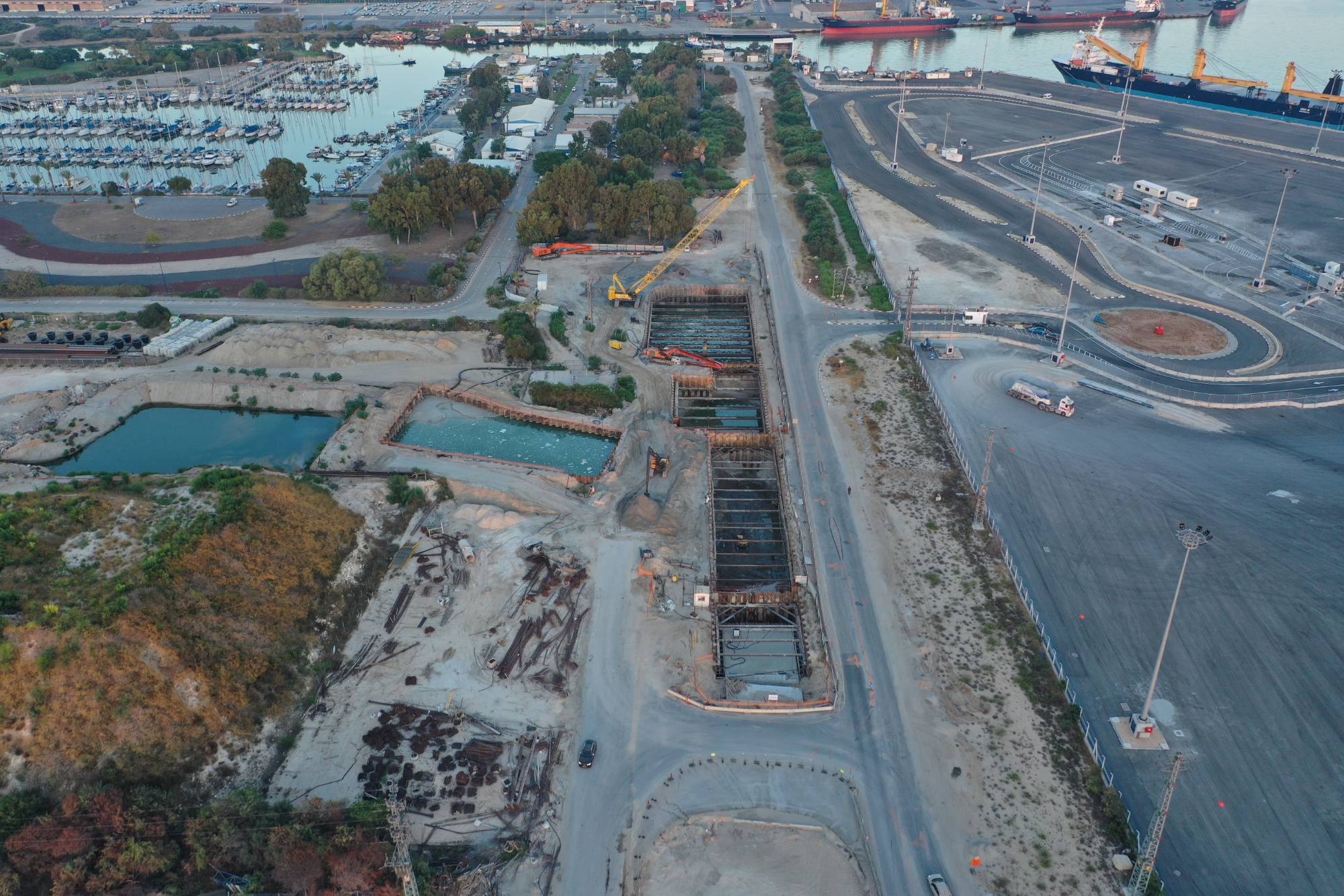
Construction and infrastructure companies, planners, developers and public bodies. For example, on the Netanya breakwaters we carry out monthly photography and survey along about 3 km.
Common questions
What is the difference between an orthophoto and a DEM?
An orthophoto is a corrected image you can measure on, and a DEM is a model of elevations.
Does a resolution of 1 cm per pixel mean 1 cm accuracy?
No. Resolution and accuracy are two different things. It is worth defining in advance the accuracy you need and how it is checked.
What format are the deliverables in?
We agree on that in advance, based on your systems and on how the deliverable will be used.
Talk to us about mapping and survey
+972-77-231-6907info@tsr.co.il2 Oded St., Be'er Ya'akov, Israel