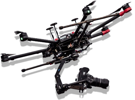
TSR Aerial Photography Ltd. provides expertise aerial photography services using unmanned aerial vehicles in a range of fields: solar energy; construction; real estate; infrastructure; media and film; promotional and marketing videos; 3D modeling; thermal imaging and measurements, including an in-depth report; mapping and orthophoto products used for accurate measurements in a wide range of projects and industries.
Our professional and organized team provides a unique and high-end experience at the highest level, all driven by our core values of reliability, responsibility, safety, professionalism, support and availability.
We maintain contact with our customers throughout the entire process, including upon completion to ensure customers can request future product modifications, if needed.
We are highly experienced in working with public bodies and government offices, including the necessary work protocols.
We strive to adhere to time schedules, around-the-clock service, full transparency, superior conduct, regular e-mails and client updates, and scheduled meetings, as needed.
magic
feel the
feel the
magic
WHY CHOOSE US
Customized meetings to the client's needs
Construction and integration in a wide variety
of aerial vehicles
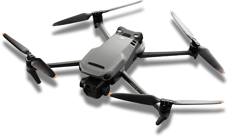
Broad range of equipment
And state-of-the-art aerial vehicles
Network of pilots
Nationwide
Team of Pilots
TSR staff is a team of professionals with 14 years of experience in the field of operation and professional photography. The team has experience in a wide variety of demands and operating specifications.
Providing a 360-degree response and solution
We have the latest and most advanced equipment in the field, which enables production at the highest level. This allows for providing services and responding to a wide variety of demands and operating specifications to meet customers’ needs.
Where Do
We come In
We come In
Where Do
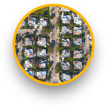
Construction and Infrastructure
• Monitoring progress and accompanying projects for execution planning presentations for the company's management.
• Project documentation for advertising and marketing, regulation and receiving a full-picture of the project’s status.
• Diagnostics and reviews of bridges, building structures, and cladding.
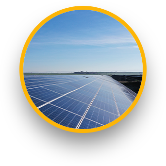
Solar Energy
• Site measurements and 3D modeling for designing photovoltaic systems.
• Thermographic photography for commercial and ground sites, analysis, and production of advanced reports.
• Wind turbine performance evaluation and review.
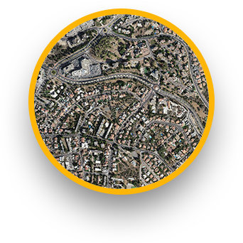
Mapping and measuring
• Orthophoto photograph products, DEM and 3D modeling using advanced tools that provide results with the highest level of accuracy and high resolutions of 1-5 cm per pixel
• Accurate area measurements; scheduled data generation; quantification and volume of excavations, holes, and construction progress.
• Photogrammetric mapping solutions.
Promotional and marketing videos
• Producing quality promotional videos from the planning and script-building stages up to the actual photography, implementing the best-suited tools, sound and post-production editing.
• Creating promotional videos for real estate companies, festivals and events both for small and large businesses alike.
Virtual tours and simulations
• Panoramic and 360-degree aerial and ground-level photography, using high-resolution cameras and cutting-edge software.
• Virtual tours of construction sites, festivals, shopping centers and stores.
• High-resolution aerial photography (both still and video) for imaging purposes.
&
fly
video
Among our clients
קודם
הבא
Selected Projects
1Haifa Port connections
Since 2018, TSR has been conducting monitoring, surveillance and supervision
photography for Israel Ports Development & Assets Company Ltd. regarding the work
progression in the new Haifa Port, a project of national scale.
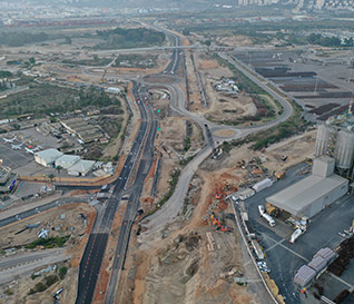
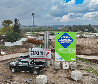
2Ben Gurion Airport West Interchange
Project
For the next 4 years, TSR has been commissioned to perform surveillance and control drone photography for measurement purposes for the Danya Cebus Construction company. This project is an important flagship project for the State of Israel.
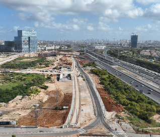
The 1000 Compound Project
Since 2022, TSR has been involved in the surveillance and monitoring of “The 1000 Compound Project” to provide a higher-level of supervision to map and monitor everything that happens at the work site.
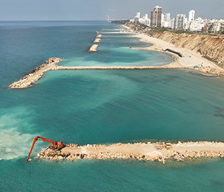
Netanya Breakwaters
Since 2022, our company has been performing monthly monitoring and measurement photography for The Mediterranean Coastal Cliffs Preservation Government Company Ltd. (MCCP). This unique project strives to preserve and protect the cliffs along Netanya's 3km long coastline.
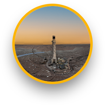
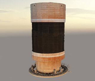
The Solar Thermal Power Plant Tamarisk (Ashalim)
Our company performs engineering-controlled photography and monthly follow-ups for the General Electric corporation. We use unique drones and 3D processing to determine the state of the boiler and its ceramic coating.
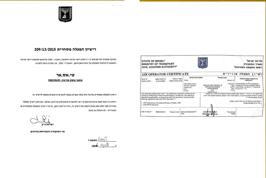
Certifications and Credentials
Licenses from Civil Aviation Authority of Israel (CAAI), Ministry of Transportation, commercial operating license, and aerial operating license with third-party insurance coverage up to 5,000,000 NIS.
? have any questions
...Let's talk
בין לקוחותינו
טי.אס.אר הינה חברה המתמחה ומספקת שירותי צילום אווירי מתקדמים באמצעות כלי טיס בלתי מאויישים בתחומי הבנייה, נדל״ן, תשתיות, מדיה וקולנוע, סרטוני תדמית ושיווק, מיפויים ותוצרי אורתופוטו המשמשים למדידה מדוייקת במגוון רחב של פרוייקטים ותעשיות שונות. ייחודה של החברה היא במטיסים המיומנים והמנוסים הנמנים בשורה הראשונה בעולם, איכות המטיסים מתבטאת בתוצר הסופי, באיכות המוצר הגבוהה ובבטיחות מהסטנדרט הגבוה בעולם