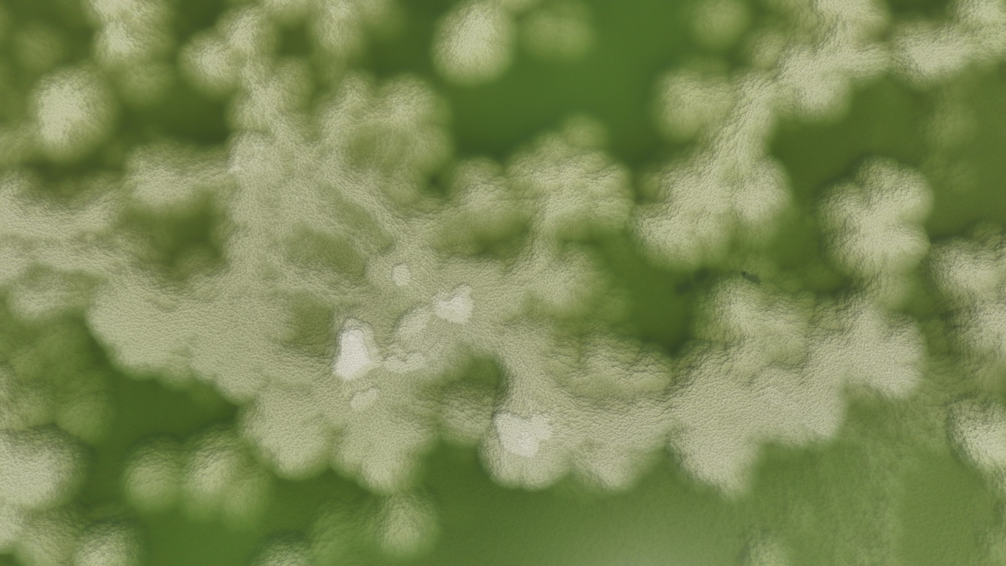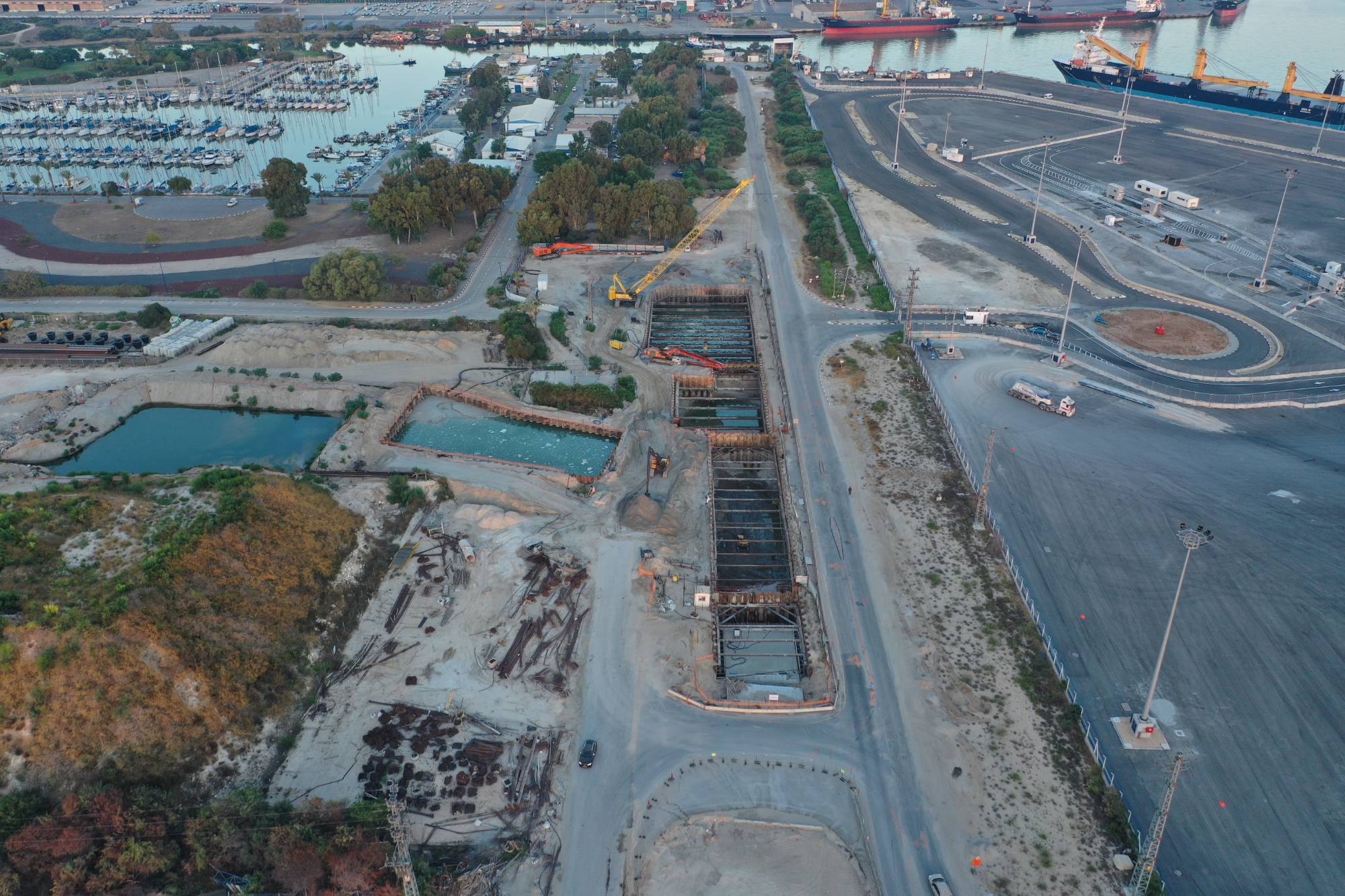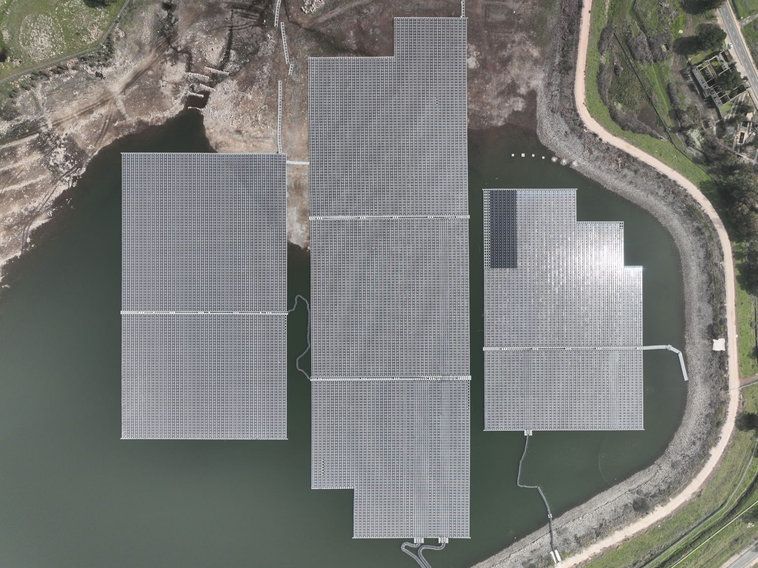
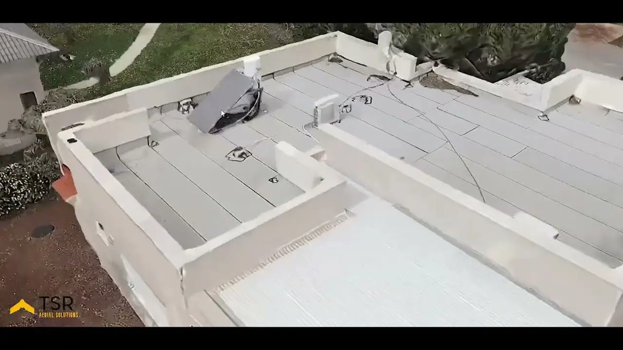
How does drone mapping work?
- Planning. Define the boundaries, flight height and required resolution.
- Flight. The drone flies parallel lines, so each image overlaps its neighbours.
- Processing. The software finds common points between the images and calculates the geometry of the area from them.
- Control. Accuracy is checked against known points, when the project requires it.
- Delivery. The deliverables are handed over in a format that suits your systems.
What is the difference between the deliverables?
| Deliverable | What it is | What it is used for |
|---|---|---|
| Orthophoto | A corrected image at a uniform scale | Measuring distances and areas, a background for planning |
| DSM | An elevation model of the surface, including buildings and vegetation | Checking heights and the geometry of structures |
| DTM | An elevation model of the ground itself | Contour lines, drainage and planning |
| 3D model | A three-dimensional representation of the site | Presentation, control and engineering work |
DEM is the general name for an elevation model, so check with the provider whether DSM or DTM is meant.
What does 1 to 5 cm per pixel mean?
This measure is called GSD, and it says how much ground each pixel in the image covers. At 2 cm per pixel, every pixel represents 2 cm on the ground. We produce deliverables at a resolution of 1 to 5 cm per pixel. The lower you fly, the higher the resolution, but more images and time are needed.
What determines accuracy?
There are two main ways of tying the map to its true location, and they can be combined:
- Ground control points (GCP). Points are marked on the ground, measured and fed into processing.
- RTK or PPK. The drone corrects its position using a reference station, so each image gets a more accurate location.
A Korean study that tested mapping without control points found an error of about 13 cm horizontally and about 16 cm vertically with RTK, compared with more than a metre without it. A test by Pix4D and Pix-Pro found that combining the two methods reduces the error further. The numbers depend on the equipment and conditions, so they illustrate a trend and do not promise a result.
What should you tell the provider to get the right deliverable?
- What the deliverable is for: planning, quantity calculation or presentation.
- What accuracy is required, in numbers.
- Which coordinate system and file format you want.
- Whether the survey needs approval from a licensed surveyor, for example for submission to the authorities. It is worth checking in advance.
Examples from the field
On the Netanya breakwaters we carry out monthly progress photography and survey along a section of about 3 km, and at the Ashalim power station we process the imagery in 3D to understand the condition of the boiler and its ceramic lining. See all projects.