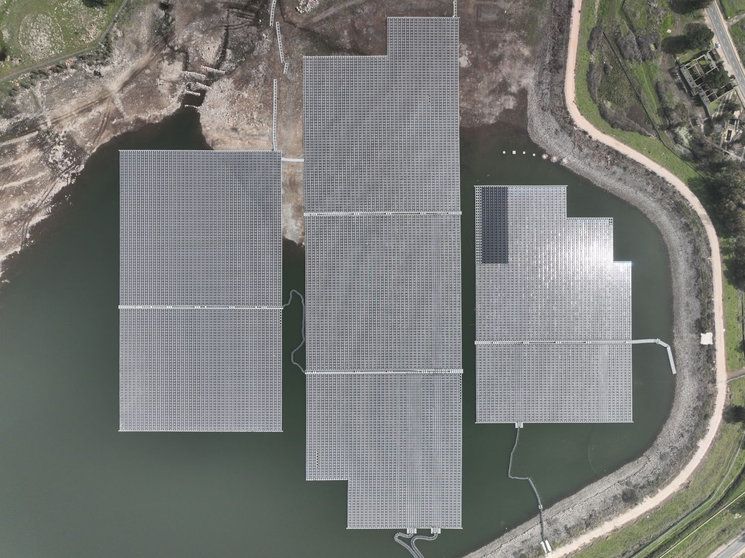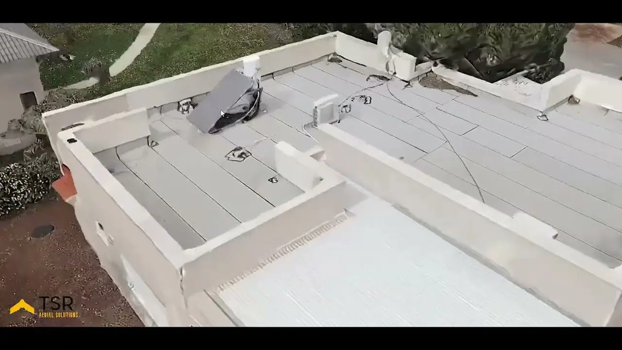
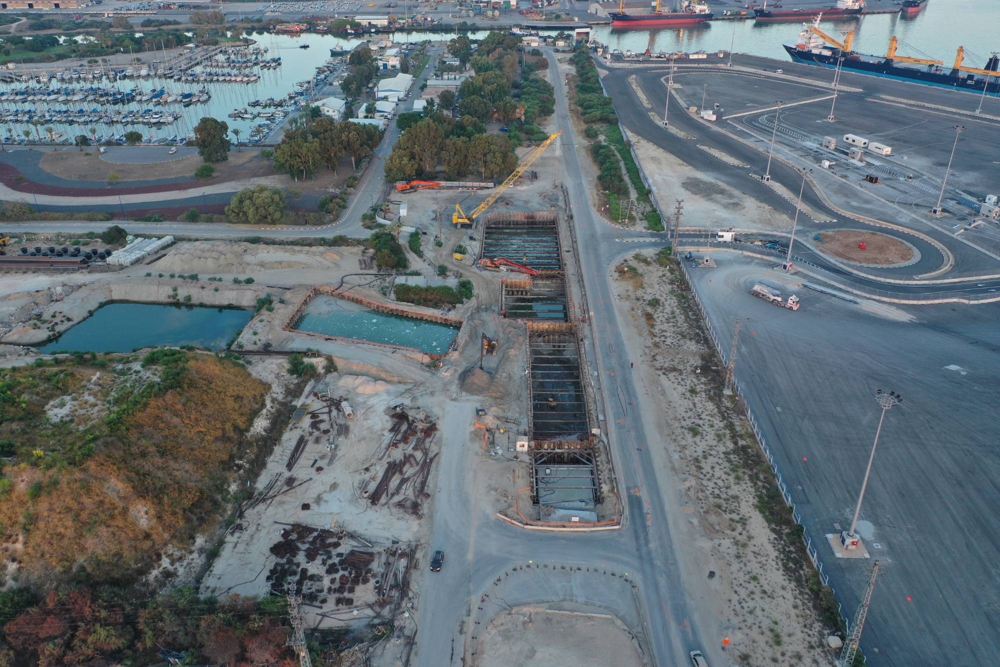
On a large project, people in the office do not always see what is happening on the ground, and people on the ground see only their part. A view from the air gives everyone one picture. We do this, for example, on the Haifa Port connections since 2018 and on the Ben Gurion Airport West interchange for Danya Cebus.
What do you get from drone construction tracking?
- A status picture for management. Showing construction stages without travelling to the site.
- Documentation over time. An organised archive by date that you can go back to.
- Control. Comparing what was planned with what is happening on the ground.
- Quantity measurement. With mapping and an elevation model, you can measure areas, earthworks and progress.
- Marketing. The same material also serves publicity, developer reports and buyers.
How often should you shoot?
There is no single answer. Derive the frequency from the pace of the project and from who uses the material.
| Situation | Frequency to consider |
|---|---|
| Regular reporting to management on a long project | Monthly |
| An intensive stage, such as earthworks or the structural frame | More often during that stage |
| A milestone, handover or marketing event | Per event |
In practice, monthly tracking is a common baseline. That is how we work on the Netanya breakwaters and at the Ashalim power station.
Photos, mapping or a model: what suits you?
Not every project needs the same deliverable. Choose according to the question you want answered:
- Stills and video answer "where do we stand?" and suit management and marketing.
- An orthophoto gives a straight image of the site that you can measure on.
- Elevation and 3D models suit volumes and earthworks. Read more in the guide to drone mapping.
- A virtual tour lets you walk the site from the office. More in the guide to 360 tours.
4 things to plan before the first flight
- Fixed points. Define in advance where you shoot from, so months can be compared.
- Site safety. Coordinate with the site manager where and when to fly, because according to summaries of the regulations there are distance requirements from people who are not part of the activity.
- Permissions. A flight over infrastructure may require the owner's consent. Check this in advance.
- Who gets what. Set the format, delivery date and storage location in advance, so the material actually reaches the right people.
Bridges and facades too
A drone does not have to stay above the site. It can survey bridges, buildings and building cladding up close, without putting up scaffolding just to take a look. You can see examples on the construction and infrastructure page.
Common questions
Does work on site have to stop during the flight?
Usually not, but the route and hours are coordinated in advance to maintain safety and meet the requirements that apply to the flight.
Can we start in the middle of a project?
Yes. Images from the beginning will not come back, but the documentation starts from the first flight and moves forward from there.