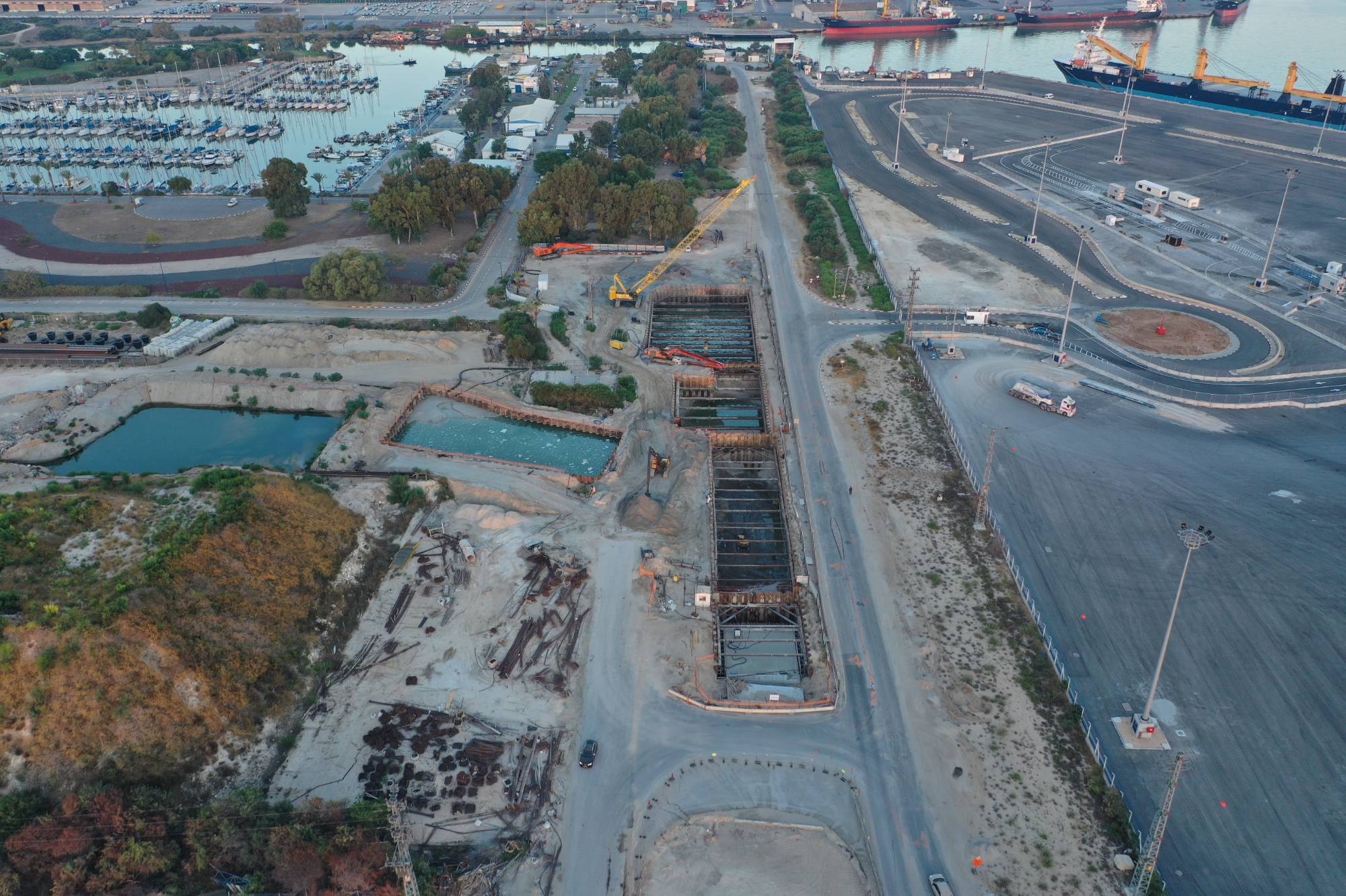
Drone photography for construction and infrastructure
Progress tracking, control and documentation from the air, so management, supervisors and developers all see the same picture.
What you get
- Progress tracking and project support, showing the construction stages to company management
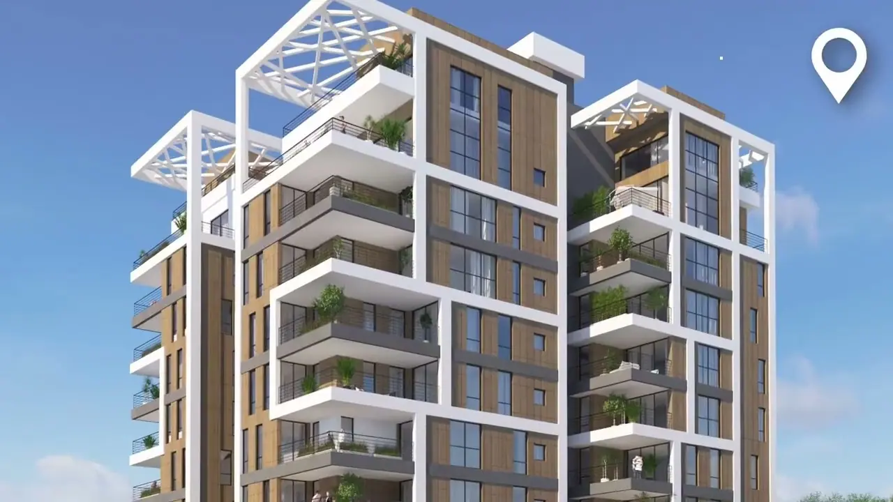
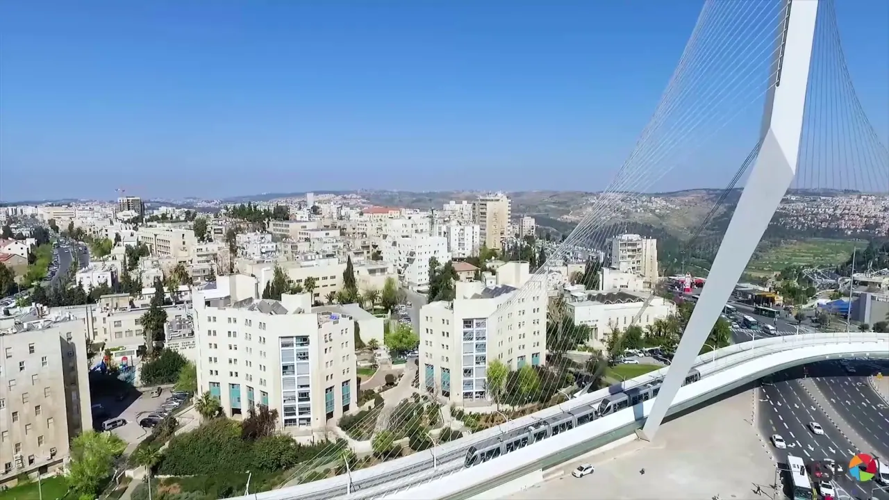
- Project documentation for publicity and marketing
- Control and status images of the project
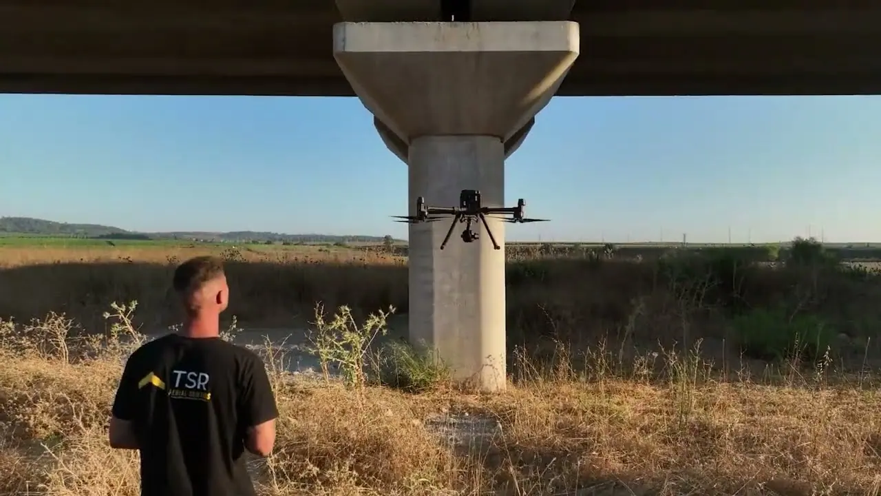
- Integrity checks and surveys of bridges, buildings and building cladding
Who it is for
Construction companies, developers, infrastructure bodies and supervision firms. Among others, we work on the Haifa Port connections, the Ben Gurion Airport West interchange and the 1000 Complex.
Common questions
How often should a construction site be photographed?
It depends on the pace of the project and on who uses the material. Monthly tracking is a common baseline, and intensive stages can be shot more often.
Can a bridge or a facade be surveyed without scaffolding?
Yes, a drone gets close and photographs bridges, buildings and cladding. Whether a further inspection is needed depends on the findings and on the project's requirements.
Are you insured to work on an active site?
All our aircraft carry third-party insurance with cover of up to ILS 5,000,000, under an operating licence from the Civil Aviation Authority of Israel.